Before looking for an application, we often have a specific need: to check the condition of a roof after a storm, measure the area of land before a purchase, or simply locate the environment of a property seen in an advertisement. Seeing your house from the sky with a free satellite application addresses these concrete situations, provided you know which tool to use and what you can realistically expect from it.
Blurring Street View and satellite view: an asymmetry that no one mentions
In France, you can request the permanent blurring of your house in Street View via a reporting form in Google Maps. The CNIL can be contacted if Google does not process the request within a month.
However, there is currently no procedure that allows an individual to have their house, roof, or garden masked in the satellite or aerial view. In practice, even if your facade is blurred at street level, your property remains perfectly visible from the sky.
This distinction has practical consequences. Anyone who types your address into Google Maps or Google Earth can identify the layout of your land, the presence of a pool, and the apparent condition of your roof. You can see my house from the sky with Maison Pro to better understand which applications utilize these images and how to use them to your advantage rather than suffer from them.
Google Earth, Google Maps, and Géoportail: which satellite view to choose based on your needs
The three most commonly used free tools do not provide the same service. The choice depends on what you are looking to do concretely.
Google Maps in satellite mode
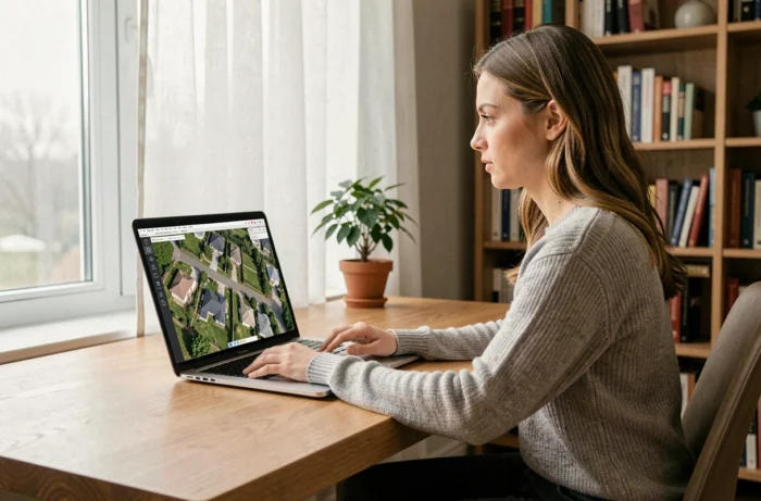
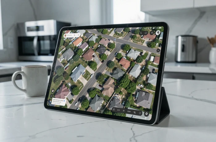
This is the quickest for basic location. You type an address, switch to satellite view, and in a few seconds, you visualize the neighborhood. The resolution varies by area: large cities are well covered, to the point of distinguishing parked cars on the street. Rural areas are often less detailed.
Accessing Street View from the same interface allows you to complement the aerial view with an exploration at street level. To locate the environment of a future home or check the proximity of shops, this combination remains the most effective.
Google Earth for 3D and historical views
Google Earth displays buildings in three dimensions in many cities. You can tilt the view, rotate around a building, and obtain a perspective that a simple flat satellite photo does not provide. The web version works directly in the browser, without installation.
The historical image function allows you to go back in time and compare the evolution of a place over several years. This is useful for observing changes in land, the appearance of a neighboring building, or the evolution of vegetation around a plot.
Géoportail for French cadastral data
The Géoportail from IGN is not limited to aerial photography. You can overlay the cadastre, flood zones, risk prevention plans, and topographic maps. For a real estate purchase in France, it is an essential complement to Google images.
Feedback varies on the ease of use of the interface, but the accuracy of French data often exceeds what Google offers in the same area.
- Google Maps: quick address location, combination of satellite view and Street View, accessible on mobile without installation
- Google Earth: 3D view of buildings, historical images, immersive flyover with tilt
- Géoportail: cadastral layers, risk zones, high-resolution IGN maps of French territory
Satellite images and generative AI: verifying what we see from the sky
Google recently integrated and then urgently removed an AI image generation tool in Google Earth. The principle allowed for the creation of modified views of real places, which posed an obvious reliability issue.
Since then, Google has implemented a digital watermark SynthID to distinguish generated images from real satellite photos. When looking at your house from the sky, the question of the authenticity of the image becomes relevant, especially if you use it to document damage or prepare an urban planning file.
In practice, the images available in Google Maps and Google Earth remain real captures taken by satellite or airplane. But this episode shows that one must remain attentive to the source of what is observed, particularly on third-party platforms that aggregate images from various sources.
Concrete actions to see your house in satellite view on mobile
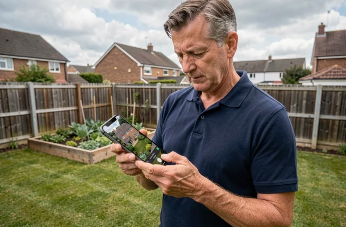
On smartphone, the most direct approach is through Google Maps, pre-installed on most Android devices and available for free on iOS.
- Open Google Maps, type your address in the search bar, then tap the layer icon to activate satellite view
- Zoom in with two fingers until you see the roof of the house, then switch to Street View by dragging the little person on the map
- For Google Earth on mobile, download the dedicated app, enter the address, and tilt the view with two fingers to obtain the 3D perspective
- On Géoportail, use the mobile browser, search for the address, then activate the “Aerial Photographs” layer in the data menu
The resolution of the images depends on the date of the last overflight of your area. In large urban areas, updates are frequent. In rural areas, several years may separate two images.
Practical limitations to know before relying on images
Free satellite images are never real-time. What you see corresponds to a snapshot taken during the last pass of the satellite or airplane over the area. The date of the image capture is rarely displayed visibly in Google Maps, but Google Earth allows you to check the exact date of each image at the bottom of the screen.
For legal or administrative uses, Google images do not constitute formal evidence. A judge may consult Géoportail on their own to base a decision, but consulting Google Earth does not hold the same weight. This distinction, confirmed by French case law, should be kept in mind if using these tools in an official context.
Seeing your house from the sky remains a simple action, accessible in a few seconds from any screen. The tool you choose depends on what you intend to do: quick location, land analysis, or documentary verification. In any case, cross-referencing at least two sources of images remains the best habit to adopt.